Zing Forum

Reading

CryoSentinel: A Foundation Model-Based Semantic Segmentation System for Glacial Lakes

This article introduces the CryoSentinel project, an open-source system for glacial lake semantic segmentation using the TerraMind 1.0 Large foundation model. It integrates Sentinel-1 SAR, Sentinel-2 optical imagery, and Copernicus DEM elevation data, achieving an IoU of 0.9557 in validation tests in the Tianshan Mountains of Central Asia.

遥感冰川湖语义分割基础模型TerraMindSentinel地球观测气候变化
Published 2026-05-27 10:32Recent activity 2026-05-27 10:59Estimated read 6 min
CryoSentinel: A Foundation Model-Based Semantic Segmentation System for Glacial Lakes
1

Section 01

[Introduction] CryoSentinel: An Open-Source Foundation Model-Based Semantic Segmentation System for Glacial Lakes

This article introduces the open-source project CryoSentinel, a system that uses the TerraMind 1.0 Large foundation model and integrates Sentinel-1 SAR, Sentinel-2 optical imagery, and Copernicus DEM elevation data to achieve semantic segmentation of glacial lakes. In validation tests in the Tianshan Mountains of Central Asia, it achieved an IoU of 0.9557, providing an efficient tool for climate change research and Glacial Lake Outburst Flood (GLOF) early warning.

2

Section 02

Background and Challenges of Glacial Lake Monitoring

Glacial lakes are sensitive indicators of climate change. As temperatures rise, the number of moraine lakes increases, and the risk of GLOF intensifies. The Tianshan Mountains in Central Asia are a concentrated area of glaciers and a high-risk area for GLOF, so accurate monitoring is crucial. Traditional manual interpretation is inefficient, and automated monitoring faces challenges such as multi-source data fusion (optical imagery is prone to cloud obstruction, SAR has large texture variations, and DEM requires terrain matching) and complex terrain (large contrast variations between glacial lakes and ice/snow/rock).

3

Section 03

Core Technical Solution of CryoSentinel

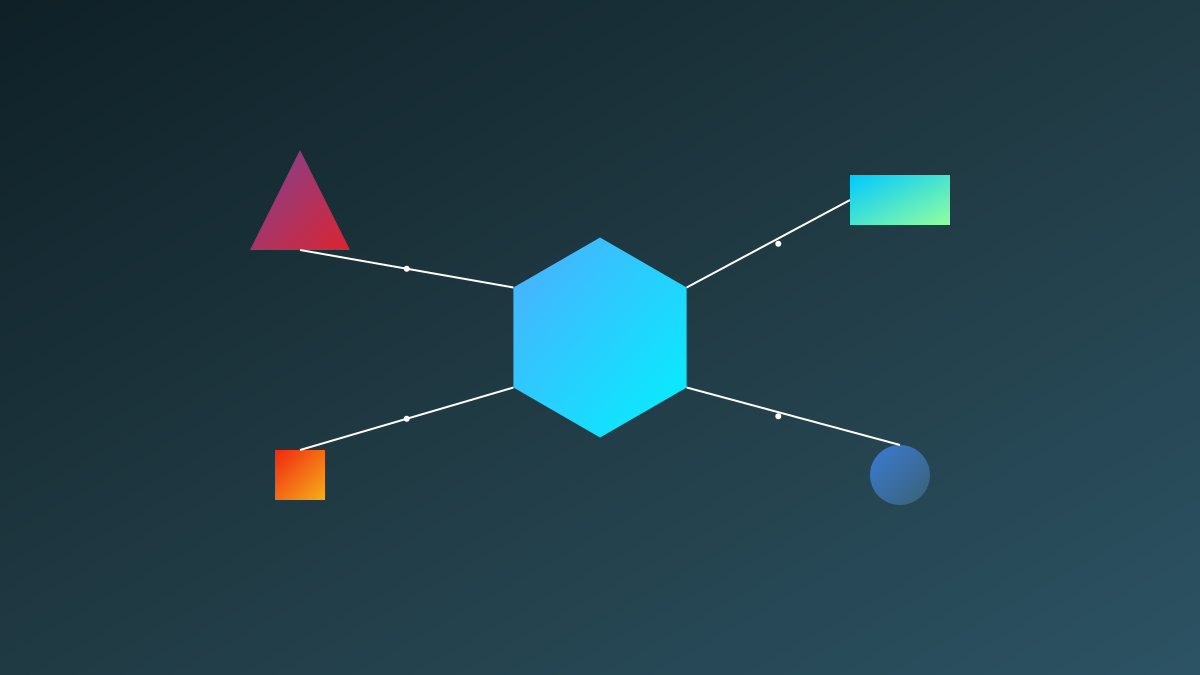
CryoSentinel adopts a foundation model paradigm, with TerraMind 1.0 Large as the backbone network. Its innovation lies in the multi-modal fusion architecture: 1. Independent encoder branches for each data source (Sentinel-1/Sentinel-2/DEM); 2. Cross-modal attention to learn feature correlations; 3. Multi-scale decoder fusion to generate fine segmentation results. Data preprocessing includes SAR radiometric correction, optical cloud masking, DEM slope and aspect calculation, and registration.

4

Section 04

Validation Results and Comparison with Similar Methods

The project was validated in the Tianshan Mountains, Jetisu, and Ili Alatau Corridor, achieving an IoU of 0.9557 (over 95% overlap between predicted and ground truth labels). Comparison with similar methods:

Method Data Sources Backbone Network IoU Features
CryoSentinel SAR+Optical+DEM TerraMind1.0 Large 0.9557 Foundation model-driven
Traditional U-Net Optical ResNet ~0.85 Single-modal, requires large amounts of data
DeepLabV3+ Optical ResNet-101 ~0.88 Classic segmentation architecture
Transformer-based Optical SegFormer ~0.90 Attention mechanism
CryoSentinel's advantages lie in multi-modal fusion and the strong representation capability of the foundation model.
5

Section 05

Application Scenarios and Open-Source Ecosystem

Application scenarios include: 1. Automated update of glacial lake catalogs; 2. GLOF risk assessment and disaster early warning; 3. Water resource monitoring (tracking area/volume changes); 4. Climate change research (long-term trend analysis). The project uses the Apache 2.0 license, and the open-source content includes complete training/inference scripts, model weights released on Hugging Face, sample data, and preprocessing workflows.

6

Section 06

Limitations and Future Directions

Current limitations: 1. Geographic generalization (trained on Tianshan, requires fine-tuning for other regions like the Himalayas); 2. Detection of small lakes (accuracy decreases for lakes <0.01 km²); 3. Temporal analysis capability needs improvement. Future directions: Develop a globally generalized model, implement near-real-time monitoring, estimate lake volume using DEM, and integrate hydrological models to predict GLOF probability.

7

Section 07

Implications for the Remote Sensing AI Field

CryoSentinel demonstrates the potential of foundation models in the Earth observation field: 1. The pre-training + fine-tuning paradigm is suitable for remote sensing tasks; 2. The complementarity of multi-modal data is key to performance improvement; 3. Open-source code/models/data accelerate progress in the field. It is an excellent reference implementation for researchers in remote sensing AI, Earth observation, and climate change.